GeoNetwork Community News - Summer 21

Florent Gravin

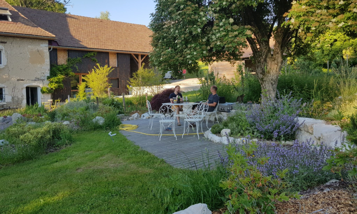
Despite COVID situation and the cancellation of our beloved Bolsena code sprint, the Geonetwork community met once again in the Lil Farm in Chartreuse, trying to push innovative concepts in the large scope of Geonetwork features.
Embracing Opendata
Do you remember last year's community meeting? We dreamt of 2 new directions to give to the project, one related to a microservice architecture, and the other one, geonetwork-ui, addressing user experience issues.
Those proofs of concept found echoes in some communities of users, we are very happy about that and we are refining the direction we want it to go: we must see Geonetwork as a catalog of data, not a metadata catalog. It has to be data centric and provide new tools to search, discover, overview and re-use the data. We want Geonetwork to embrace the open data world and we are figuring out what would be the best way to achieve that.
The sprint was a good opportunity to challenge the fundamental principles of GeoNetwork core:
- What schema to use as default for Opendata ?
- Do we still want all the editions to be based on XSD schemas ?
- Do we want to have an internal pivot format ?
All those discussions remain and should find an answer in the coming months as we want to start the implementation this summer. Stay tuned if you want to know more about GeoNetwork as a Data Hub platform.
Put some dataviz in it
One technical concept we wanted to dig in during this sprint is the Data API of GeoNetwork. We would like to be able to fetch the data that are linked from the metadata of the catalog, to enforce our data centric approach.
We want to provide an API for that, that could be used internally or remotely from third party applications. The idea is to index all the data in Elasticsearch, as it is done for the medata. This will address new use cases
- Search both in metadata and in data
- Provide dataviz components based on data
The microservice architecture we set up is really appropriate for such an API, a first service has been implemented to address the data indexing batches, from various formats as WFS, GeoPackage and Shapefile. The work is very promising and we started to implement dataviz web components based on this API (table and map) to showcase the concept.
GeoNetwork, still in the move
As you see, things are moving in the GeoNetwork ecosystem and will soon bring a new face to this legacy solution. It is adapting to more modern use cases and trends to provide innovative answers to data providers and consumers expectations. This year will bring plenty of brand new features, the roadmap is very tight but we expect to have GeoNetwork as a central data hub (geo data, opendata, non-geo data, dataviz components, new search page) for the end of the year.
Very exciting perspective overall :)
For more information,
do not hesitate to get in contact with us!
Career
Interested in working in an inspiring environment and joining our motivated and multicultural teams?
- Senior Infrastructure Engineer (m/f/d) - Zurich/Olten
- ERP Consultant Odoo Smartcamp (m/f/d) - France
- IT Project Manager (m/f/d) - Zurich/Olten
- GIS Technical Consultant (m/f/d) - Zurich/Olten
- ERP Consultant Odoo Smartcamp (m/f/d) - Zurich/Olten
- Odoo Developer Internship (m/f/d) - Chambéry
- Odoo Developer (m/f/d) - Olten/Zurich/Munich
- ERP Project Manager (m/f/d) - France


